All routes are discovered using the Windows application ‘Here Maps’ and by selecting walking mode. When off road be sure to recalculate your route regularly to ensure your ‘current position’ is accurate. Make sure you are ‘zoomed in’. Failing to do so can result in many miles off route, look out for every possible turning, even the smallest of trails will be picked up by Here Maps. In my opinion any GPS mapping system is about, I’d say, ninety six percent accurate. Whilst I now use Here Maps combined with RideWithGps, previously I have used Garmin and Google Maps. For alternative suggestions, please let me know in the comments section.
Portimao – Albufeira, 20 miles in total, by accident.
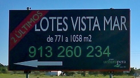
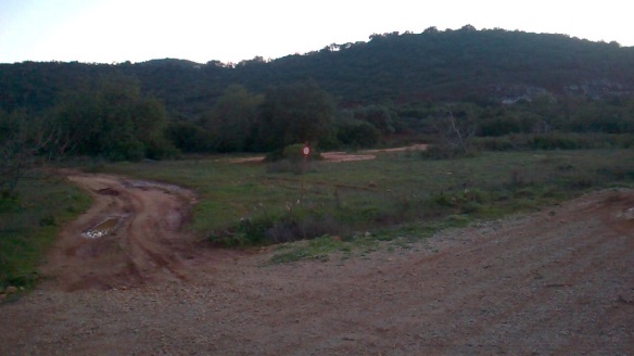
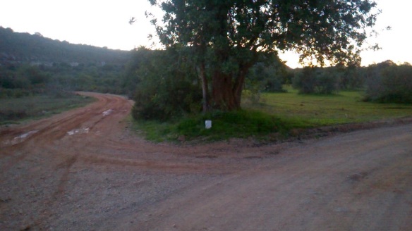
Going over the bridge and continuing on the National Road (N) for about four miles east. When you see the sign below, which is on your left side, immediately before it you will see a narrow track and a triangular shaped cycle path sign. It’s very small and easy to miss.
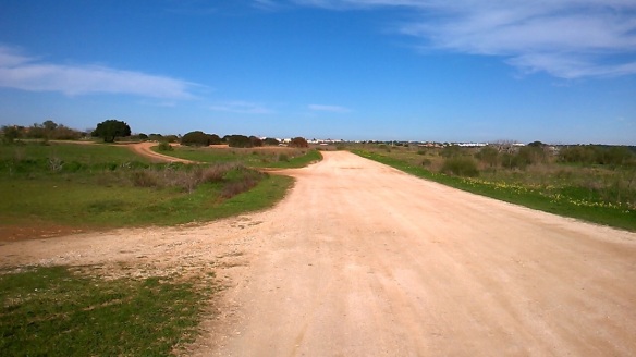
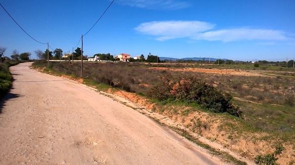
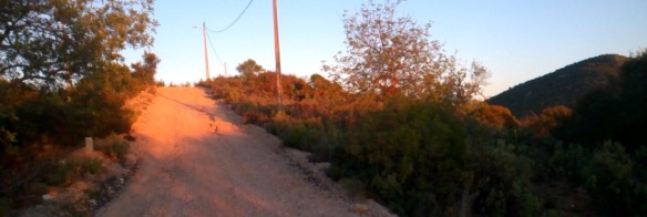
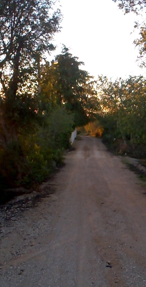
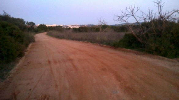
Turn right on to the track. Now have some great fun, pretty much all of the way to Albufeira. The images below demonstrate the terrain and the views to be had.
Have a good lunch when you get to Albufeira. Don’t waste time contemplating which bar to eat at, just go for the cheapest, the food is much of a muchness.
Albufeira – Loule, 15 miles in total, of about nine, off road.
Plot the route from ‘your location’ to Loule in walk mode. Only a few miles to cover before the trails start. The next road you’ll see is 2.2 miles from the centre of Loule.
This was different terrain from the previous route. It was brilliant, I just wished I could either do it on a motorbike or do it again in reverse. There wasn’t much in it, but probably more ascents in this direction. At this stage I was tired and the ascents were becoming harder. Look out for a steep descent, it’s brilliant, but if you get carried away and lose concentration, you will fall off at the bottom because in the blink of an eye there is a one eighty!
As soon as you get to a very main road, which will be a T junction, reroute by using car mode. You will turn left and follow it until you get to a roundabout. Any GPS can mistake your location when being on a network of roads, like inner ring roads in the UK for example. When you get to the roundabout, take the first exit. No soon as you have taken the first exit you will see the road splits into two. A right fork and a left fork. Take the left fork and continue for about one mile, up a hill and over a cobbled street. Stop just before the junction in a safe place and refer to your GPS. You are a few minutes from the centre of Loule.
For brilliant overnight accommodation, I can highly recommend Loule Hostel. It’s a bargain and in 2014 it was full restored.
For any further information use the contact form on the homepage. Also, share your experiences on the forum.
